community
Geelong Walkers Discover Three Epic Trails: Ocean Road, Rail, Coast
From the Bells Beach clifftop to the Bellarine Peninsula Rail Trail, Geelong is surrounded by outstanding walking. Here is your complete guide.
How we reported this
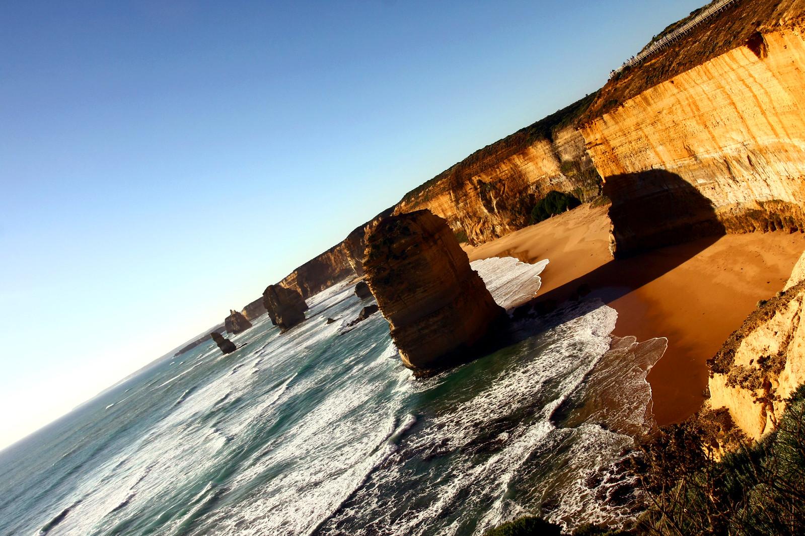
Geelong's walking landscape is defined by two extraordinary natural assets: the Surf Coast (from Torquay to Lorne, the Great Ocean Road corridor provides some of Victoria's finest coastal walking) and the Otway Ranges (the national park and state forests behind the coast provide rainforest and waterfall walking of extraordinary beauty). The city is also served by the Bellarine Rail Trail (32km of flat walking and cycling trail along the former Queenscliff railway line) providing a unique perspective on the Bellarine Peninsula's farmland and coastal country.
Surf Coast Walk, the 44km Surf Coast Walk from Torquay to Airey's Inlet (graded moderate, best done in sections over 2-3 days) is one of Victoria's finest coastal walks, following the Great Ocean Road clifftop and beach through Bells Beach, Anglesea, Aireys Inlet, and the Painkalac Valley. Individual day sections (Torquay to Bells Beach, 5km; Bells Beach to Anglesea, 10km; Anglesea to Aireys Inlet, 15km) provide outstanding half-day and full-day walking options accessible from Geelong within 30-45 minutes.
Lorne and the Otways, the Erskine Falls walk from Lorne (4.5km return, graded moderate) visits one of Victoria's most spectacular waterfalls (30m single drop into a fern gully), and the Gorge and Cascade walk in the Lorne hinterland provides excellent forest creek walking. The Cape Patton clifftop walk (between Lorne and Apollo Bay, 9km one way) is one of the Great Ocean Road's finest coastal walks with spectacular views of the Shipwreck Coast.
Bellarine Rail Trail, the 32km converted rail trail from South Geelong to Queenscliff follows the route of the former Queenscliff railway through the Bellarine Peninsula farmland. The flat, well-surfaced trail is ideal for families and casual walkers, and sections (Portarlington to Queenscliff, 12km; Leopold to Portarlington, 10km) provide excellent half-day walking options. The trail ends at the historic Queenscliff township and the Bellarine Railway steam train connection to Drysdale.
You Yangs Regional Park, 35 minutes north of Geelong, the You Yangs granite outcrops provide outstanding short walking with spectacular views across the Werribee Plains and Port Phillip Bay. The Flinders Peak walk (5.2km return, graded moderate to hard) climbs to the highest point of the You Yangs at 352m and provides the finest panoramic views in the Geelong region.