news
Geelong Real Estate Listings Plagued by Duplicate Photos, Complicating Buyers
A deep dive into the history of duplicate and replacement imagery in local real estate and council records, and how the region arrived at a quiet but consequential data problem.
How we reported this
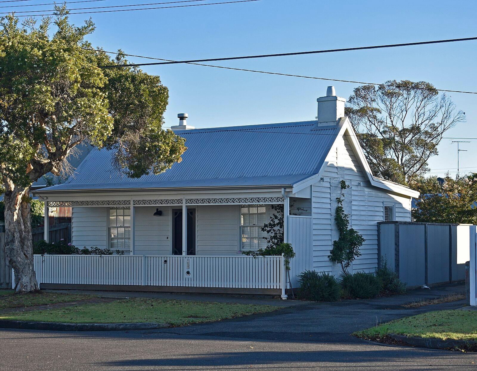
Walk through any online property listing for the Geelong suburbs of Belmont, Newtown or Corio and you will find, often within a few scrolls, the same kitchen photograph appearing on three separate addresses. It is not a glitch. It is the product of years of accumulated shortcuts, database migrations and outdated record-keeping practices that have left councils, real estate platforms and heritage registers across the Barwon region carrying images that do not match the properties they are supposed to document.
The issue has moved from background irritation to practical problem as Geelong absorbs thousands of new residents under the City Deal framework. The federal government committed $370 million to the Geelong City Deal in 2017, and the program has since driven development corridors through Armstrong Creek, Torquay North and the Surf Coast hinterland. Each new subdivision creates fresh records. Each fresh record is a new opportunity for a duplicate image to embed itself in the system.
How the Problem Was Seeded
The roots go back to the early 2000s, when the City of Greater Geelong began digitising its property database. At the time, digital photography was expensive and storage was limited. Councils across Victoria, including Geelong, adopted a pragmatic but flawed workaround: a single representative photograph, often of a streetscape or a generic facade, would be attached to multiple records within the same precinct. The logic was administrative convenience. The consequence was data contamination that has proven surprisingly hard to clean up.
Deakin University's School of Information Technology, based at the Waurn Ponds campus on Pigdons Road, has documented similar digitisation patterns across regional Victorian councils in research published through its Smart Cities research cluster. The university's work on geospatial data integrity identified that regional centres with high post-industrial land churn, a category that fits Geelong precisely, given the 2017 closure of Ford's manufacturing plant at Norlane, were disproportionately likely to carry stale or duplicated visual records. When a factory site gets subdivided into forty-odd residential lots, the old site image frequently follows the records into the new parcels unless someone actively purges it.
Real estate portals compounded the problem. When agencies migrated listings between platforms, from older systems to the major national portals used today, image metadata was often stripped or corrupted. A property on McKillop Street in the Geelong CBD might carry a photo taken in 2009 of a building that was demolished in 2014. The listing goes live; the image travels with it.
Why the Correction Is Overdue
The Surf Coast Shire, responsible for planning along some of the most contested environmental corridors in the region, flagged duplicate imagery as a specific concern in its 2024 Planning Scheme Review. Heritage properties in Aireys Inlet and Lorne were found to carry images sourced from structurally similar but legally distinct buildings, creating potential confusion during heritage overlay assessments. A wrong photograph attached to a heritage-listed property is not merely an aesthetic inconvenience, it can affect permit decisions and insurance valuations.
The Victorian Government's Land Use Victoria office, which maintains the statewide property title register, has run data-cleansing rounds in 2022 and 2024 targeting exactly this kind of image duplication. Geelong's records were included in both rounds, though the process is ongoing. Property data specialists estimate that a thorough image audit across a council the size of Greater Geelong, which administers more than 100,000 property parcels, takes between 18 months and three years depending on resourcing.
For residents and buyers, the practical step is straightforward: treat any listing or council record photograph with scepticism until it can be cross-referenced against a recent street-level source, such as a current Google Street View capture or an independent building inspection. For sellers, commissioning fresh photography dated after any renovation or demolition is the surest way to prevent a duplicate from resurfacing on a new listing. And for the City of Greater Geelong, which is currently mid-way through its Digital Strategy 2024-2028, the duplicate image problem is a concrete test of whether the strategy's data governance commitments will translate into actual database hygiene, or remain aspirational language in a policy document.